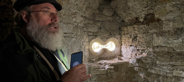
auf einer Wiese auf dem anderen Jagstufer gegenüber der Götzenburg das moderne Pendant eines der Museumsstücke im dortigen Museum in Aktion zu erleben sein. Geschossen wird mit der Replik einer Hakenbüchse aus Bronze aus dem Jahr 1564. Das Original wird auch zu sehen sein. Planung, Einführung und Durchführung mit Dr. Heiko P. Wacker. Zuschauer sind herzlich willkommen!
Weitere Details bitte dem entsprechenden Artikel im Mitteilungsblatt Jagsthausen vom 9.4.2026 entnehmen (ca. 1,6 MByte).
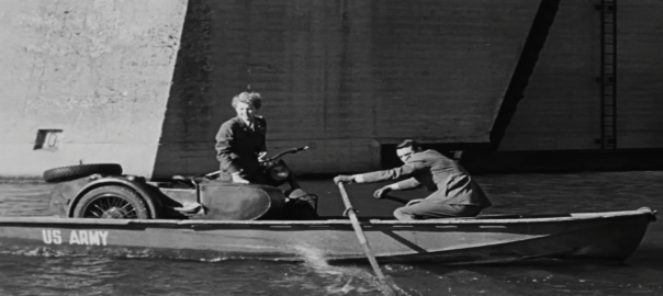
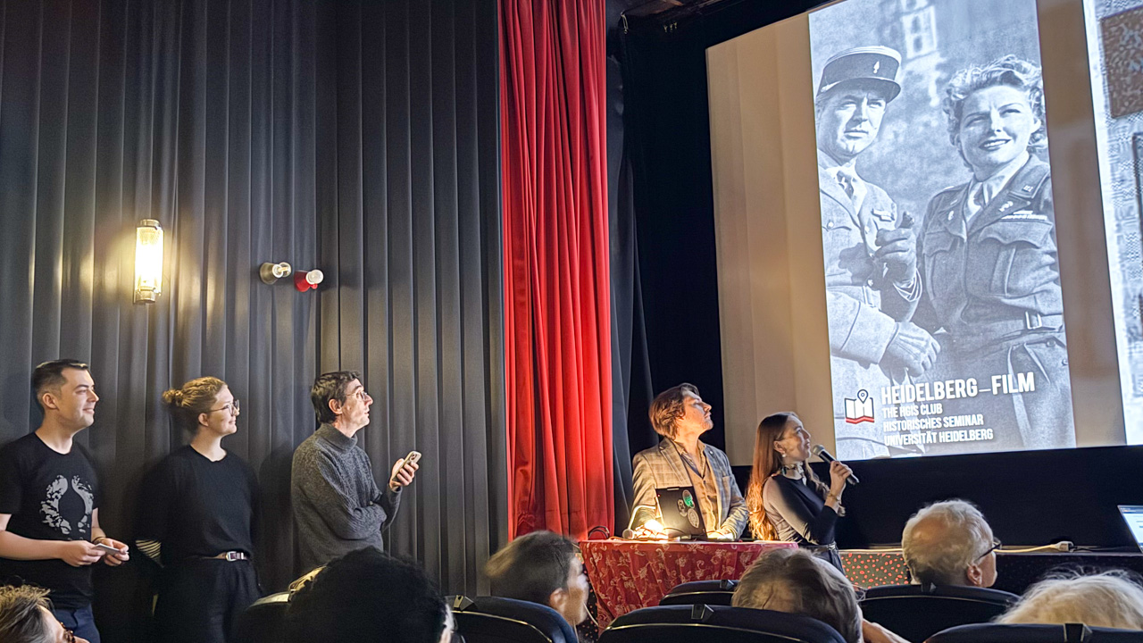
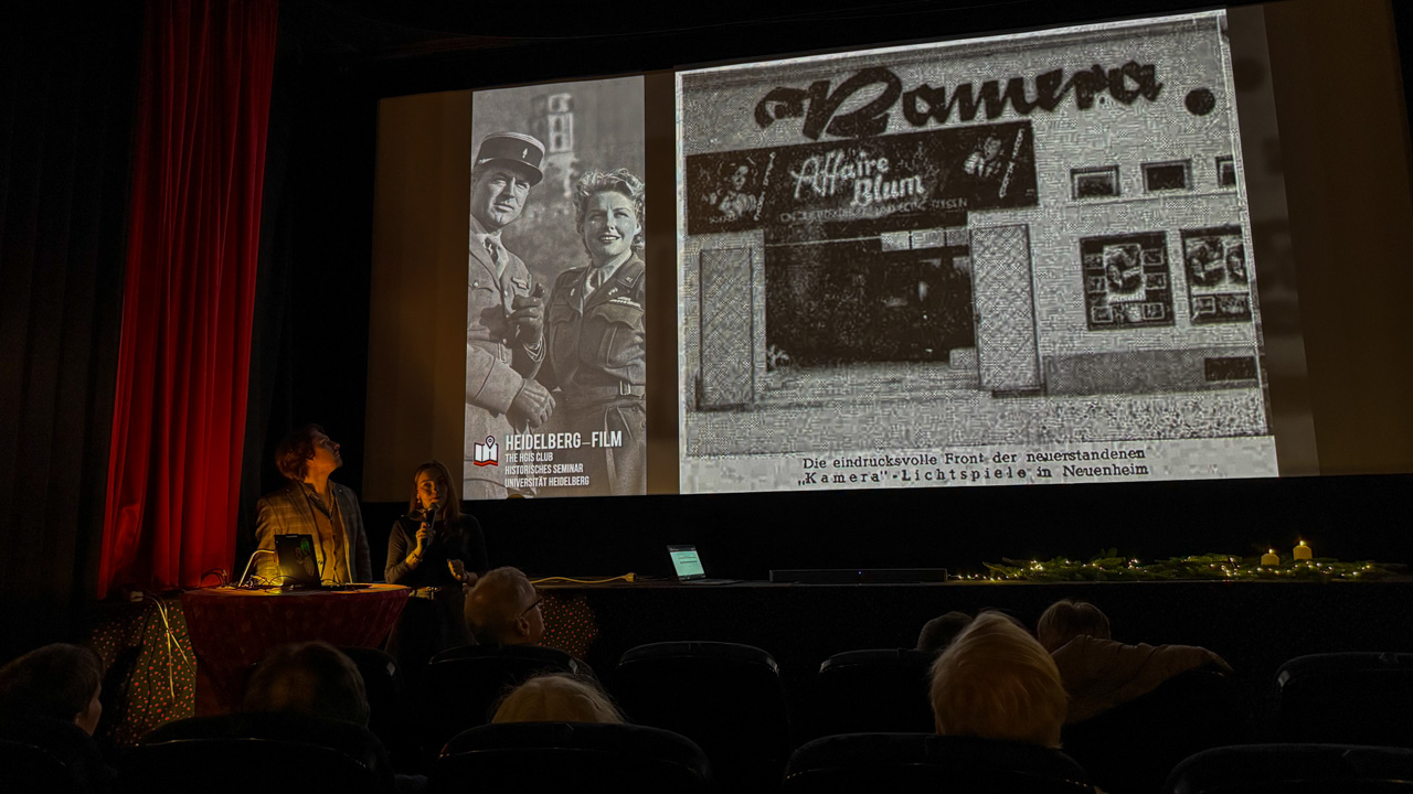
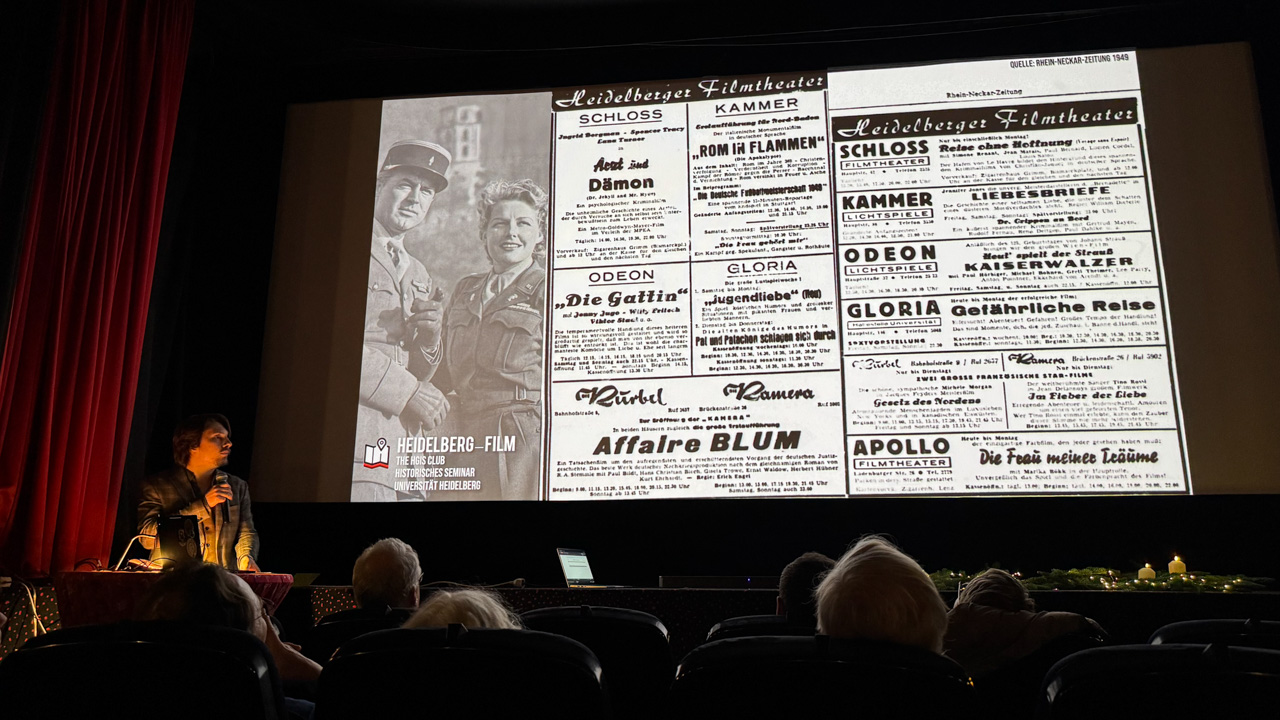
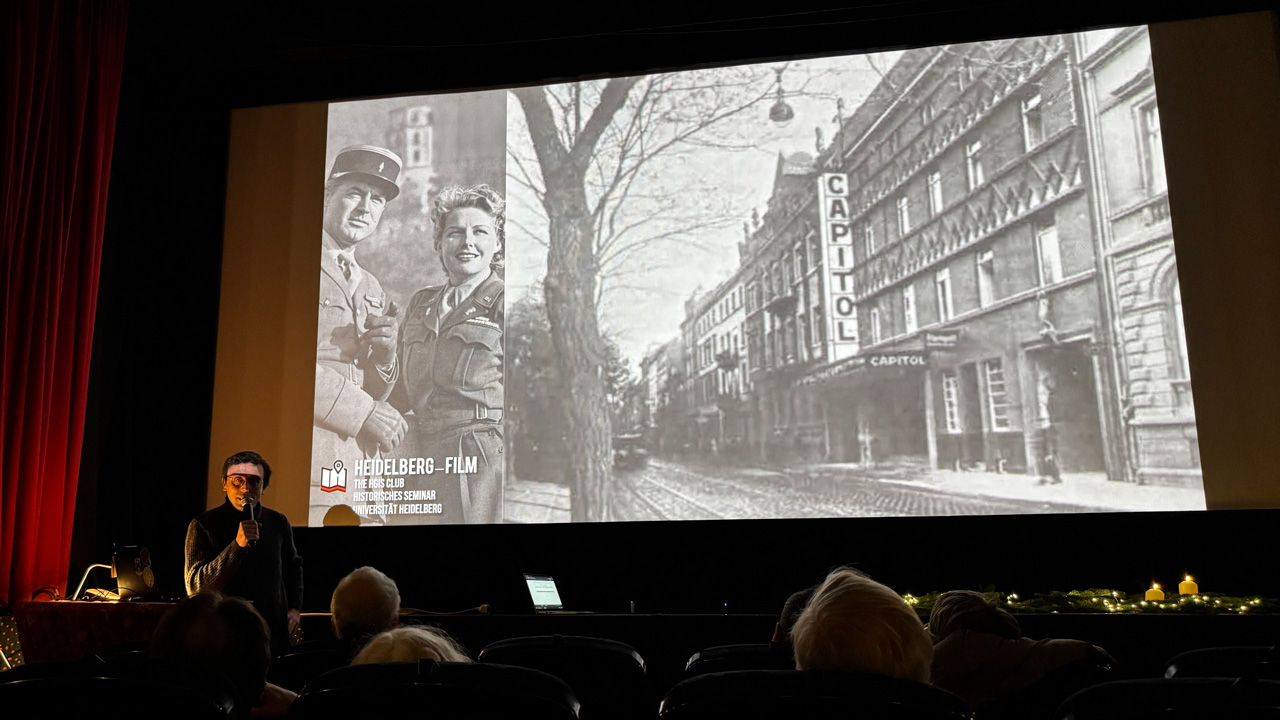
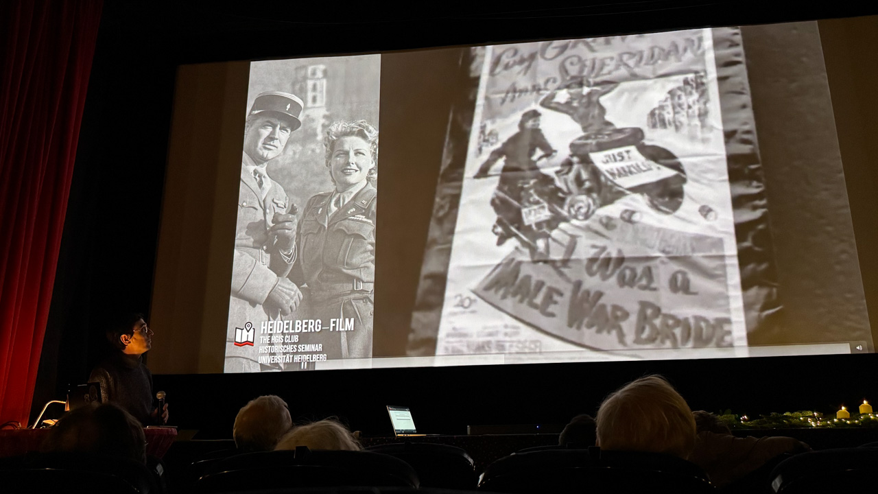
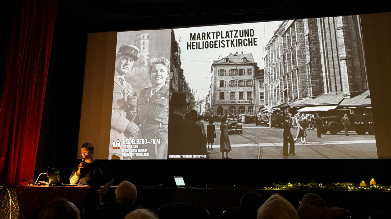
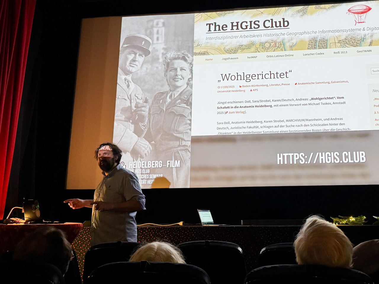
Recherchen und Einführung zu „Ich war eine männliche Kriegsbraut“ [„I Was a Male War Bride“] (USA 1949) durch Majka Bressa, Mil Gaspar, Emma Hartlieb, Maximilian Hege, Paula Langner, Markus Baier zusammen mit Ferhat Neptun (Medienforum Karlstorkino), Dr. Heiko Wacker, Dr. Michael Braun (Stadtarchiv Heidelberg), Dirk Eller & Dr. Kilian Schultes im Rahmen des Projekts „Film in Heidelberg: Kinos und Drehorte“ des HGIS Clubs im Wintersemester 2025/26. „You can’t sleep here …“: Der Film „IWas a Male War Bride“ wurde teils in Heidelberg und Umgebung gedreht. Die Crew wohnte während des Drehs ab September 1948 vor Ort.
Exkursion/Workshop in Südfrankreich mit vielen Mitgliedern des HGIS Clubs. Danke an Andreas Langen, Sandy Colvine, Dayana und Judith vom Teams des FIEF!
Unsere dort erarbeiteten Touren/Objektbeschreibungen auf der Plattform „komoot“ haben wir dort in einer „Collection“ gesammelt: FIEF Châteauneuf / Drôme
„Photographie et Interprétation du patrimoine: Réléver les strates de l’histoire“, 28.9. bis 5.10.2024
As-tu déjà lu le paysage ? Très certainement lorsque tu t’es arrêté à un belvédère. L’histoire du paysage est une perception unique pour chacun.e d’entre nous. Lorsque le regard est attiré par le décor, nous contemplons, nous posons des questions, nous objectivons et subjectivons. Nous formons des récits liés aux visages, aux lieux et aux espaces encore inconnus qui émergent devant nous. Nous donnons un sens à ce que nous voyons et révélons les strates de l’histoire pour rendre le paysage vivant. Combinant histoire et géographie, ou „histoire totale“ dans la tradition française classique, cet atelier adopte une approche holistique pour étudier, identifier et interpréter le paysage de la vallée du Jabron entre La Bégude-de-Mazenc et Dieulefit, en Drôme provençale. Équipé de compétences clés pour capturer vos pensées en mots et en images, vous créerez des dépliants de sentiers autoguidés avec des photographies, des textes et des contenus audio attrayants pour que visiteurs et habitants puissent faire une découverte immersive des strates d’histoire dans le paysage, façonné et transformé par l’homme. Sandy Colvine: Géographe, formateur et spécialiste de l’interprétation du patrimoine agrée par Interpret Europe, conseiller en développement rural. Andreas Langen: Photographe et auteur. Il a travaillé avec Kai Loges en duo sous le nom de « die arge lola », notamment sur le documentaire « Nebenan – Les voisinages du camp d‘Auschwitz ». Maître de conférences dans différentes universités et journaliste à la radio. Encadrement scientifique: Dr. Kilian Schultes, Département d’histoire (Université de Heidelberg)
Le FIEF : 245 grande rue 26160 La Bégude-de-Mazenc Drôme provençale lefief-drome.com
Interdisziplinäre Verbindung von Mediävistik und Informatik Computergestützte Analyse von Burgen, Urkunden und Landkarten Dokumentation basierend auf 3D-Modellen, QGIS und Neo4j Neue Methoden für die digitale Bauforschung Informationsgewinnung mit Personennetzwerken
Mathematikon • Konferenzraum, 5. OG Im Neuenheimer Feld 205 • 69120 Heidelberg Online-Registrierung unter: www.uni-heidelberg.de/GG3D19
Vom 27. bis 29. März 2019 finden in Heidelberg die E-Science-Tage 2019 „Data to Knowledge“ statt. Weitere Informationen unter https://e-science-tage.de/.
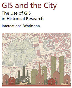
International Workshop, September 13th and 14th 2018
Technical University of Darmstadt, Germany
The general use of digital maps and mapping has increased dramatically over the last years. Parallel to this boom in mapping the diffusion of Geographic Information Systems (GIS) rose with the ubiquitous use of digital data, devices and the internet. Maps and map-based information are not only everyday companions on our cell-phones, weather and traffic maps, they also move more and more into the focus of the Humanities. GIS seems particularly attractive for historical research with a strong spatial dimension such as Urban History. GIS has been applied not only for visualizing patterns and structures which have already been analysed by ‘traditional’ methods, but also for the process of building and developing hypotheses through the identification of spatial structures which are not so easily discerned in narrative or tabular form.
This Workshop An European-wide setting of interesting and different approaches in the use of GIS for historical questions and research is presented in this workshop. A “GIS Marketplace” will offer new ideas and projects from students and scholars working with GIS & History. A concluding Round-Table discussion will present critical views on benefits and possible pitfalls of GIS in the Humanities.
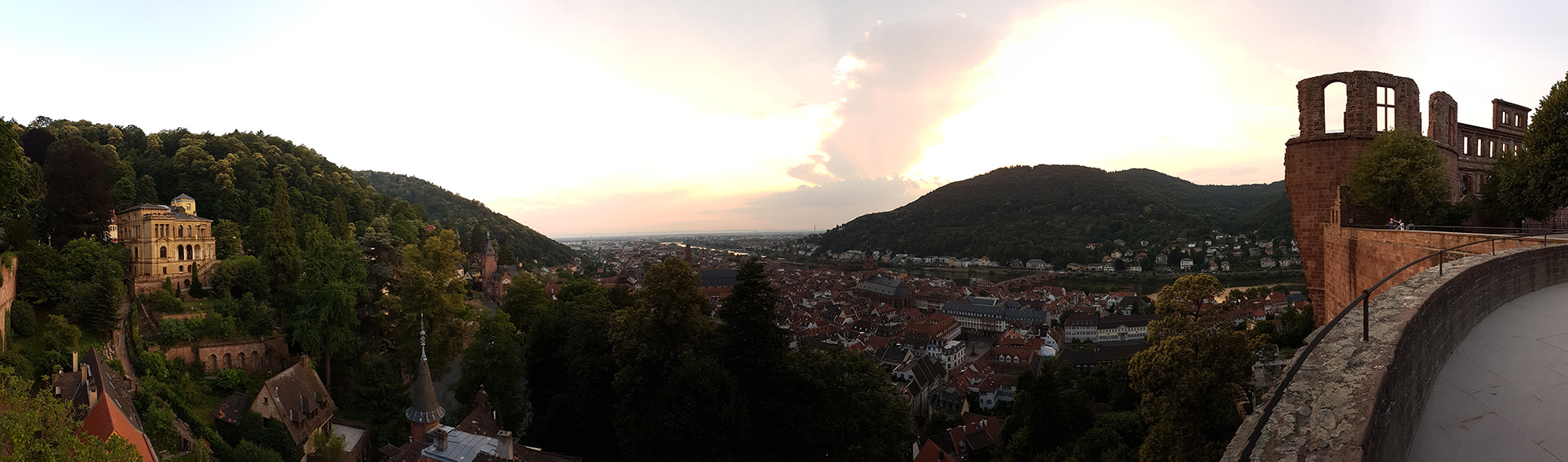
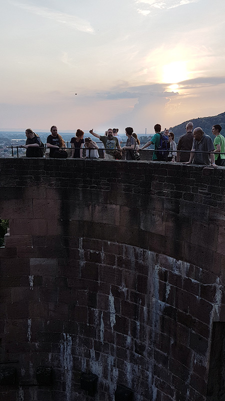
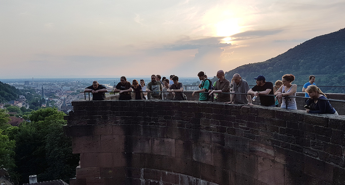
Gemeinsame Exkursion des heiMAP-Teams, des Projekts „Egogooglen“ und des HGIS-Clubs auf das Heidelberger Schloss am 20.6.2017 mit anschließendem Cidre-Umtrunk auf dem Westwall. Geführt wurden wir von Dr. Heiko Wacker – vielen herzlichen Dank von unserer Seite!
Am 16./17. März 2017 finden in Heidelberg die „E-Science-Tage 2017“ statt. Gastgeber ist das Universitätsrechenzentrum Heidelberg. Unser heiMAP-Projekt wird auf der Postersession zu finden sein. Weitere Informationen und das aktuelle Programm finden auf der Projektwebpage. Die Veranstaltung wird gefördert durch das Ministerium für Wissenschaft, Forschung und Kunst Baden-Württemberg.
E-Science-Tage 2017
Forschungsdaten managen
16. – 17. März 2017 an der Universität Heidelberg
Mit einem Schwerpunkt auf dem Management von Forschungsdaten (FDM) behandeln die E-Science-Tage 2017 erreichte Fortschritte, neue Herausforderungen und Chancen bei der Arbeit mit digitalen Forschungsdaten. Die E-Science-Tage bieten sowohl Forschenden als auch Infrastruktureinrichtungen ein gemeinsames Forum für die Initiierung und Etablierung nachhaltiger Lösungen.