Georeferencing the „Beschreibung der Reiß“ 1613 –
A Multimedia Mash-Up of Elisabeth and Frederick V.’s Wedding Tour
Coordinators: Jakob Odenwald, Simon Grüning, Felix Wenzel
Team The HGIS Club: Alexander Höschen, Michael Lenahan, Andreas Greiner, Daniel Beeker, Felix Wenzel, Dirk Eller, Dominik Cornelsen, Lukas Loos, Fabian Mario, Jakob Odenwald, Robert Gruel, Simon Grüning, Benjamin Herfort, Marco Neumaier, Lukas Loos, Kilian Schultes.
On the occasion of the 500th anniversary of Elisabeth and Frederick V.’s Wedding Tour, which is extensively covered by a printed work titled „Beschreibung der Reiß“ (published 1613), the interdisciplinary HGIS-Club produced a multimedial presentation to be shown on Google Earth for the interested public in June 2013.
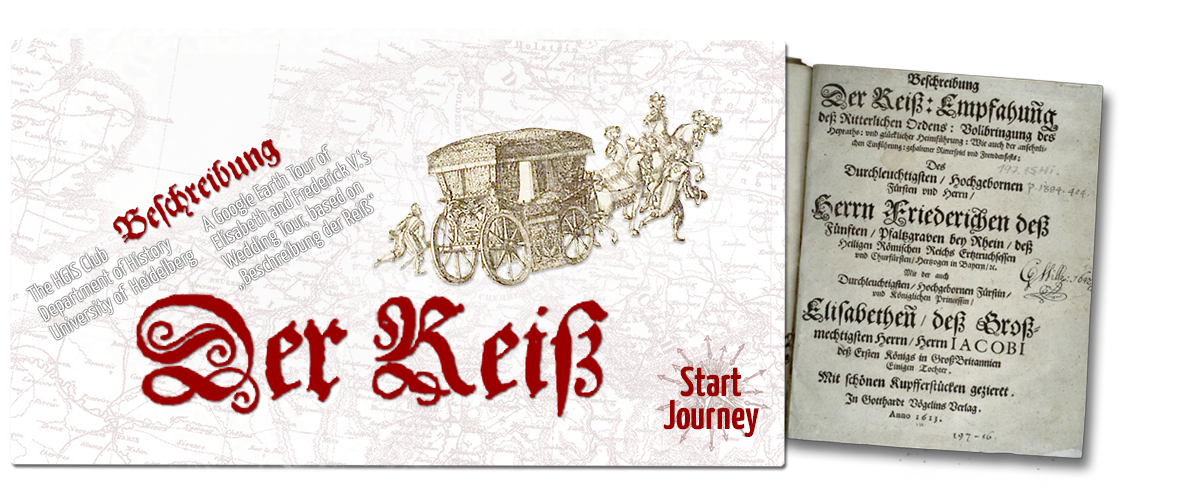
Quelle: Beschreibung Der Reiß: Empfahun[n]g deß Ritterlichen Ordens: Vollbringung des Heyraths: vnd glücklicher Heimführung: Wie auch der ansehnlichen Einführung: gehaltener Ritterspiel vnd Frewdenfests: Des… Herrn Friederichen deß Fünften/ Pfaltzgraven be…/ Herrn Iacobi deß Ersten Königs in GroßBritannien Einigen Tochter : Mit schönen Kupfferstücken gezieret [Electronic ed.]. – [Heidelberg] : Vögelin, 1613; online: Herzog-August-Bibliothek Wolfenbüttel [http://diglib.hab.de/wdb.php?dir=drucke/197-15-his].
The aims of the project were:
- Identifying the core challenges arising from converting the day-to-day-report from 1613 into a table with georeferenced and dated whereabouts and residences;
- discussing methods of dealing with uncertainties in space and time;
- evaluating possible platforms for the presentation of the historical material to the public and on a scientific conference;
- establishing a link between the source material and the presentation to make our decisions on date/space comprehensible for the viewer;
- demonstrating the potential of even very basic HGIS-presentations to display historical events on a local and international level at once and in a mash-up with other source material like contemporary/pre-modern maps and images;
- discussing new questions with regard to the source material being visualized by the HGIS.
![]()
Website of the project and download of kml/kmz:
http://www.kilianschultes.de/the_wedding_1613/